Satellite Photography
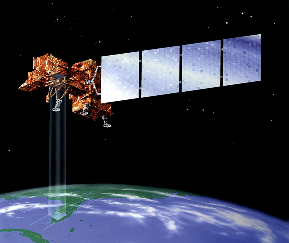
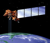 NASA's Landsat 7 satellite. The hi-res version shows the camera field of view quite well.
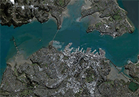 Google Maps have made satellite imagery available to the masses. This example of Auckland City is from 3DNewZealand.com.
While many facets of the photographic world are available to amateurs and professionals alike, the field of satellite imagery is the exclusive province of the pros. The satellites circling the earth and roaming the solar system are constantly snapping their own pictures, and many of those images make their way back to Earth for analysis. The field of satellite imagery uses these images for everything from exploring the universe to solving street crimes.
NASA is of course a big player in the world of satellite imagery, and the space agency makes its images available to the public on the internet. Astronomy buffs and others can search for and view the many images sent back from space, and there are plenty of stunning photos to look at.
Satellites can e used to produce images as complex or as detailed as needed. In some cases this will mean composite images of a whole section of the Earth, while in other cases the photo will center on a small part of a city block or even a single home. These images are used not only by NASA and other researchers but by a variety of local, state and Federal government agencies as well.
Satellite photography is also widely used in such disparate scientific endeavors as geology, biology, agriculture and forestry. From farmers and ranchers keeping track of their crops and livestock to Forest Service personnel watching for signs of danger, these satellite images prove their worth every day.
Satellite images also play a vital role in national defence, including intelligence gathering and warfare applications. Thanks to the power of satellites governments can keep track of everything from troop movements to weapons programs, providing valuable insights and creating some unique multinational privacy issues.
The resolution, quality and usefulness of satellite images varies quite widely of course, and this type of photography is often supplemented by aerial photography. Aerial photography provides a higher resolution than is available through satellites, and many law enforcement, intelligence and government agencies will combine the two technologies for a truer picture of what is going on in their corner of the world.
As with any technology, satellite photography has both its advantages and its drawbacks. One of the chief disadvantages is the size of the resulting images, which are generally stored in huge databases on powerful computers. The large size and difficulty of obtaining the images makes them impractical for all but the most important purposes.
In addition, most owners of commercial satellites do not sell their images or make them available to the public. Instead, these highly detailed images are licensed and controlled by the companies who own the satellite technology. This restriction also makes it impractical and difficult for general uses to access the technology.
Pictured: Satellite photos taken by Landsat 7 before and after the 2004 tsunami. The photo shows Northwestern Sumatra on Dec. 13, 2004 (left) and on Dec. 29, 2004 (right) three days after the disaster struck.
The brown areas on the right image indicate areas of stripped shoreline.
Both images use the ETM+ bands 3,2,1 which create a true-color image.